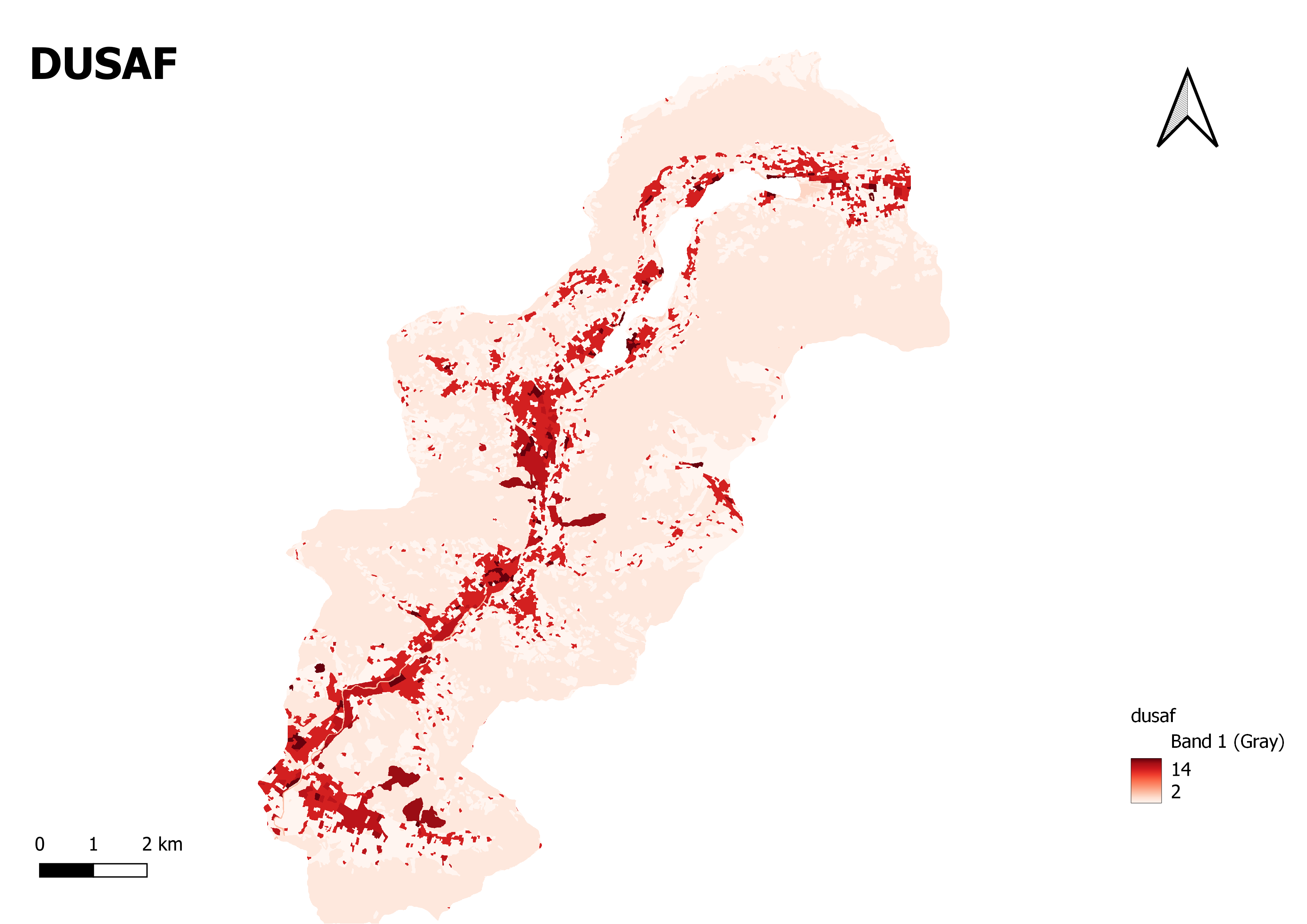
DUSAF
"La mappa della destinazione d'Uso dei Suoli Agricoli e Forestali" refers to the map depicting the land use classification of agricultural and forest soils. It is a geospatial representation that displays the spatial distribution and patterns of different land use categories specifically related to agricultural and forestry purposes.The map provides visual information about the designated land uses for different areas within a region or area of interest. It highlights the specific classification categories assigned to agricultural and forest soils based on their intended use.
This can include various categories such as:
Agricultural Cultivation: Areas designated for agricultural activities such as crop cultivation, horticulture, or livestock grazing.
Forested Areas: Areas designated for forest ecosystems, including natural forests, managed plantations, or protected forest reserves.
Agroforestry Systems: Areas where a combination of agriculture and forestry practices are implemented, such as silvopastoral systems or agroforestry plantations.
Protected Areas: Areas designated for conservation purposes, where agricultural or forestry activities may be restricted or regulated.
Other Land Use Categories: The map may also include additional land use categories related to rural settlements, infrastructure development, or non-agricultural/non-forest land uses.