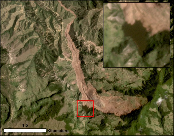
Colombian landslide
A valley-blocking landslide breach event in Colombia

Landslide Susceptibility Mapping
Done by : Feras AlQrinawi , Sriram Krishnasamy Seenivasan, Alimoeinkhah
We Geo-Informatics Engineers play a crucial role in leveraging spatial data and technology to address various real-world challenges. Their expertise in GIS, spatial analysis, and remote sensing enables them to contribute to fields ranging from urban planning and infrastructure development to environmental conservation and disaster management.
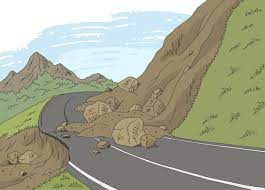
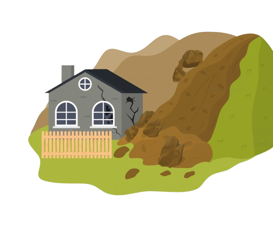
A landslide refers to the rapid movement of a mass of soil, rock, or debris down a slope. It is a natural disaster that can cause significant damage to property, infrastructure, and human life. Landslides can be triggered by various factors, including heavy rainfall, earthquakes, volcanic activity, slope instability, and human activities such as deforestation or improper land use.
Landslides can occur due to several factors. The most common triggers are excessive rainfall or water accumulation, which increases the weight and pore pressure in the soil or rock, reducing its stability. Earthquakes can also induce landslides by shaking the ground and destabilizing slopes. Other factors include slope angle, geology, vegetation cover, human activities that alter the natural stability of slopes, and changes in groundwater levels.
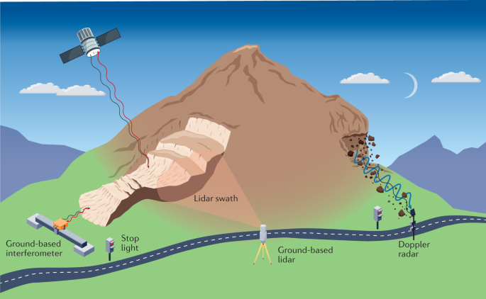
Here we are going to see some basic monitoring of the lasndslide and a video that explains clearly.
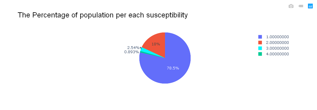
Statistics This is the chart which give the population for each land susceptibility area
We Geo Engineers


Here are some useful blogs which describes about the landslide and other natural disaster