Profile Curvature
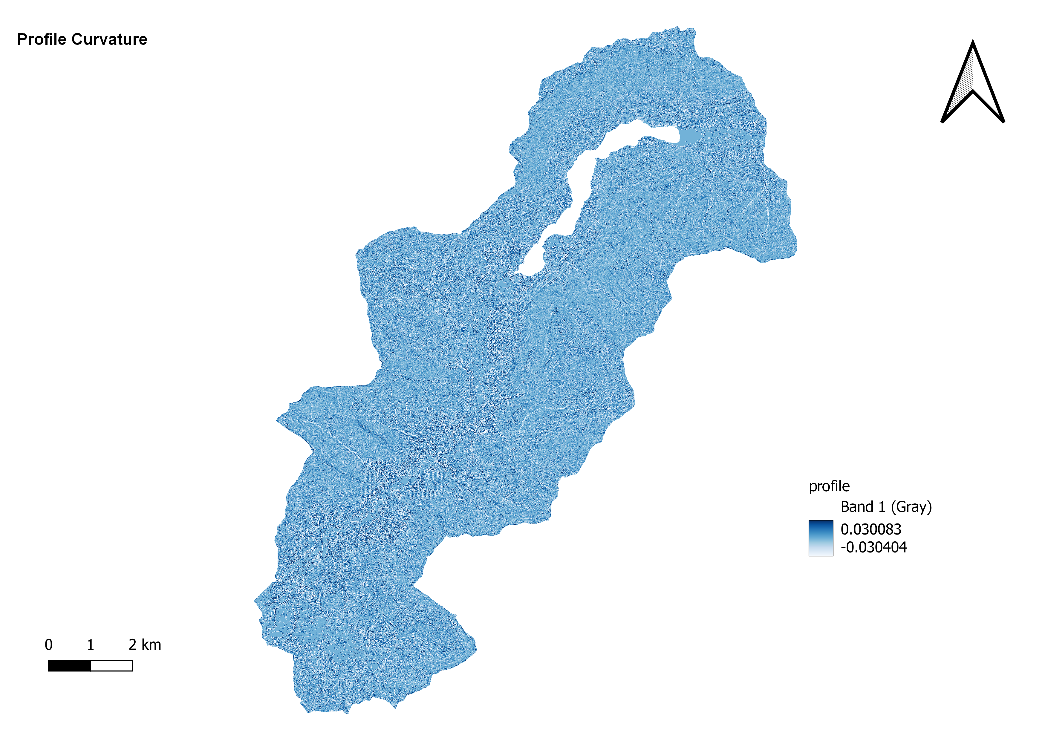
Profile curvature is a measure used in geomorphology to assess the curvature of a land surface in the vertical or longitudinal direction. It quantifies the rate of change of slope along a transect line on a topographic surface. Profile curvature provides information about the concavity or convexity of the land surface along its length.A profile curvature map is a graphical representation that displays the distribution of profile curvature values across a terrain. It shows how the curvature varies along the profile or transect line, allowing for the visualization of areas with positive (convex) or negative (concave) curvature.
Here's a brief explanation of the concepts related to profile curvature:
Convex Curvature: Positive profile curvature indicates convexity. In these areas, the land surface is curving outward or upward along the transect line. Positive profile curvature values indicate sections where the slope increases as you move up or down the line, resembling a hill or convex landform.
Concave Curvature: Negative profile curvature indicates concavity. In these areas, the land surface is curving inward or downward along the transect line. Negative profile curvature values indicate sections where the slope decreases as you move up or down the line, resembling a basin or concave landform.
Zero Curvature: Areas with zero profile curvature have a linear or flat profile. The slope remains constant along the transect line, indicating no curvature.
Profile curvature maps provide valuable information about the shape and form of landforms along a specific path or transect. They are useful in understanding terrain characteristics, identifying landform types, and analyzing the impact of erosion, deposition, or other geomorphic processes on the land surface.