Rivers
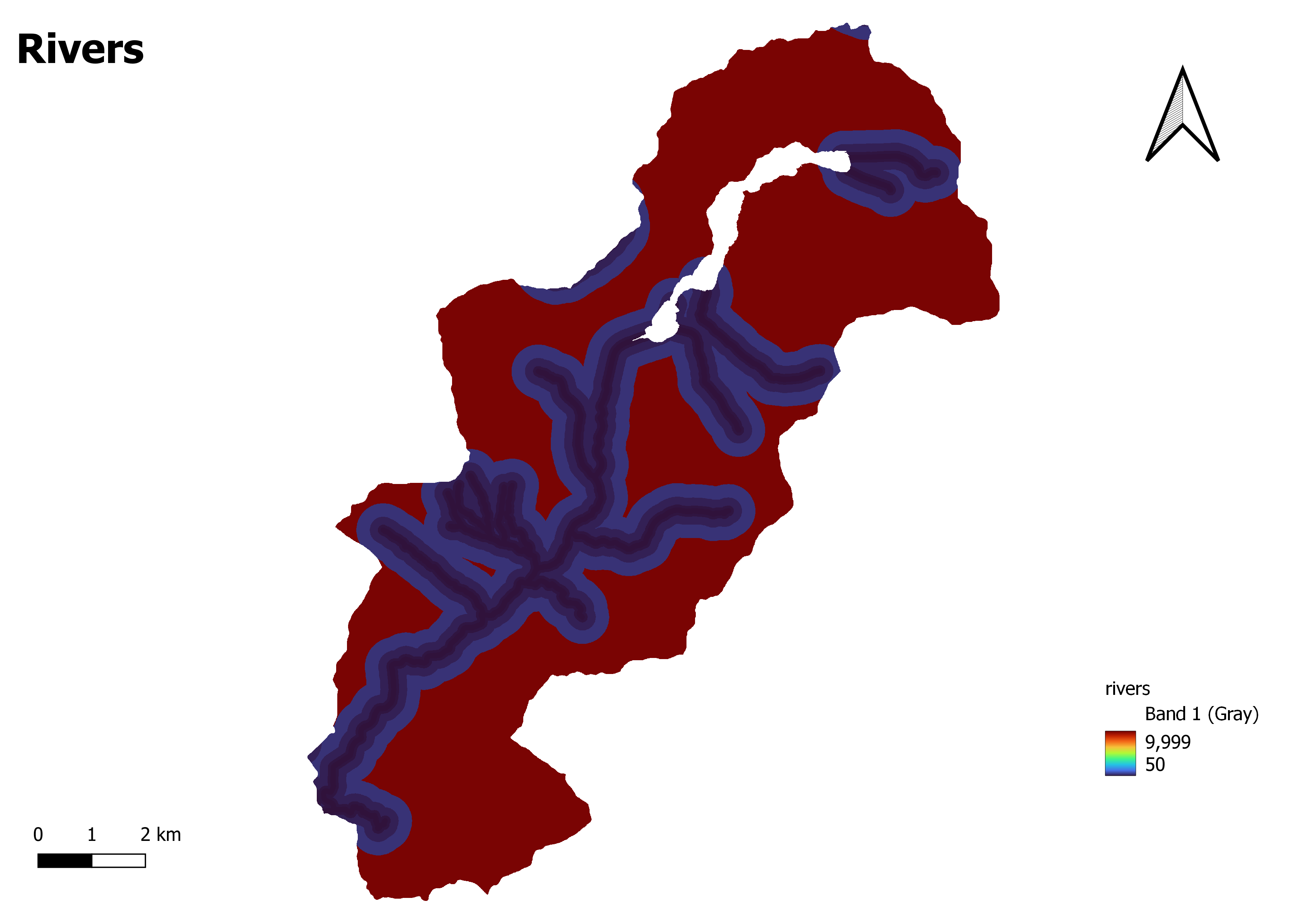
A river map is a type of map that displays the network of rivers, streams, and watercourses within a specific geographic area. It visually represents the spatial distribution, course, and characteristics of rivers and their tributaries.
River maps typically include various features related to river systems, such as the main rivers, their branches, confluences, meanders, and river channels. They may also indicate the direction of flow, the size or width of rivers, and other relevant information about the water bodies.
These maps are created using hydrographic data, including topographic maps, satellite imagery, aerial photographs, and surveys. They are essential for hydrology, environmental management, water resource planning, navigation, and recreational activities. They help understand river system patterns and dynamics, analyze the water flow, assess flood risks, identify potential water sources, locate dams or reservoirs, study habitats, and ecosystems, and facilitate effective river management and conservation. The level of detail and information presented in a river map can vary depending on the scale and purpose of the map. For instance, a regional river map may depict major rivers and their general courses, while a more detailed map may include smaller tributaries, stream order classifications, and additional hydrological features.