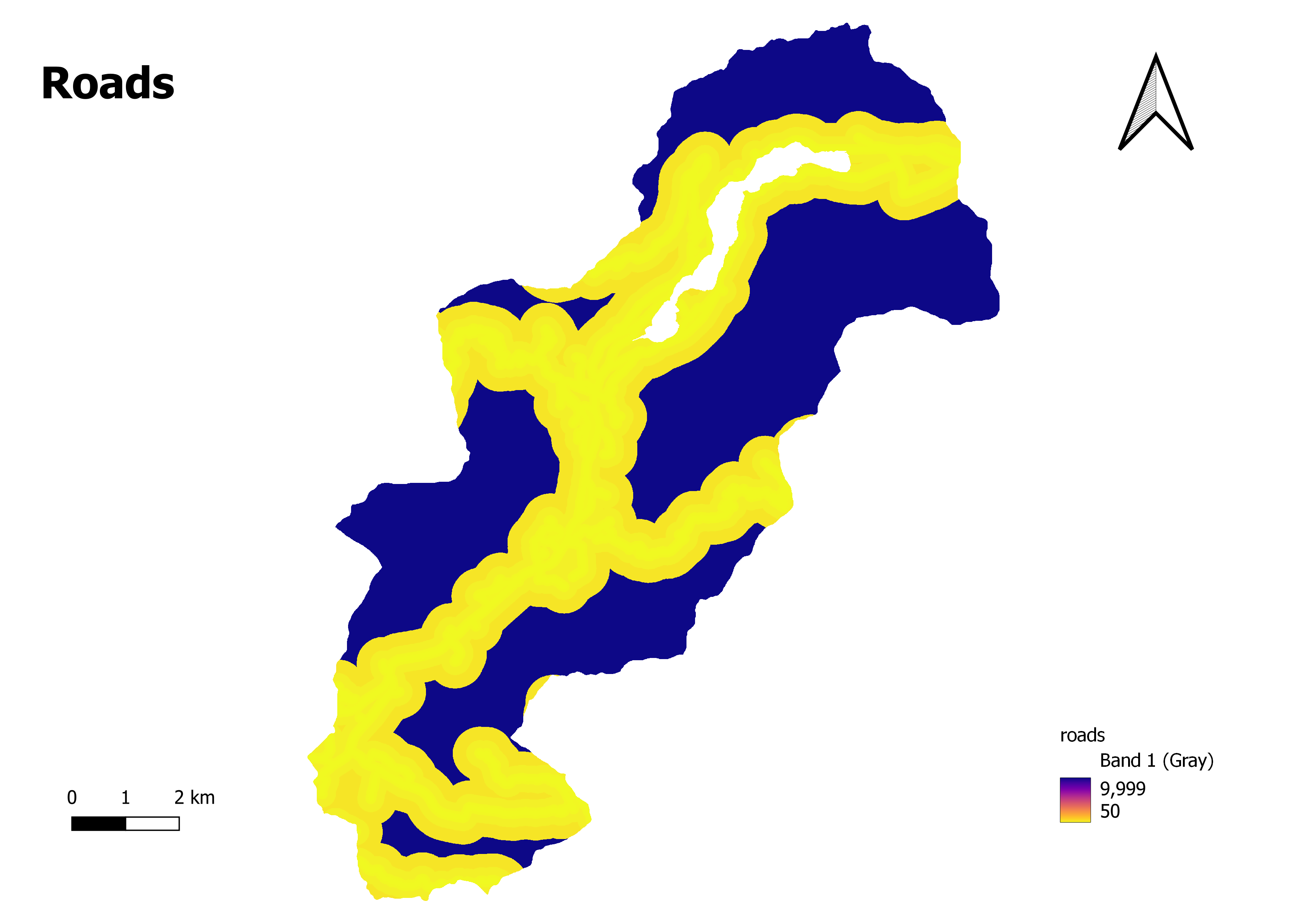
Roads
A road map is a type of map that provides detailed information about road networks and transportation infrastructure within a specific geographic area. It is designed to assist travelers, motorists, and pedestrians in navigating and planning their routes.Road maps typically include various features related to roads, highways, streets, and transportation facilities. They display the road network hierarchy, road classifications (such as primary, secondary, or tertiary roads), intersections, interchanges, roundabouts, bridges, tunnels, and other transportation-related points of interest
Additionally, road maps may also include information about toll roads, rest areas, service stations, and landmarks along the routes.These maps are created using cartographic techniques and data from various sources, including surveys, aerial imagery, satellite imagery, and GPS data.
They provide valuable information for route planning, navigation, estimating travel distances, identifying alternative routes, and understanding the spatial relationships between different destinations.