Landslide Susceptibility Reclass Exploratory data analysis
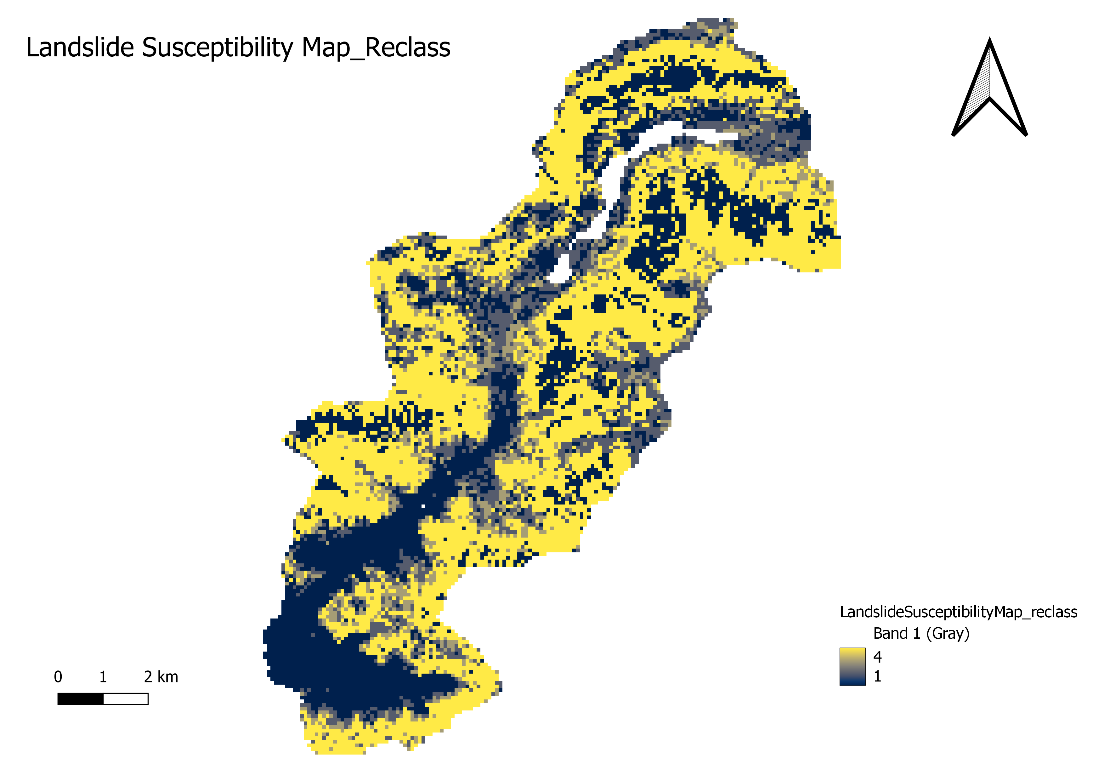
In the context of landslide susceptibility mapping, "reclass" refers to reclassifying or reassigning the values or categories of a susceptibility map to create a simplified or more interpretable representation of the results.After developing a landslide susceptibility map, which typically assigns different levels or degrees of susceptibility to different areas, the reclassification step involves grouping or consolidating these susceptibility levels into a smaller number of classes or categories. This simplification aids in the visualization and communication of the results, making them more easily understandable for decision-makers and stakeholders.
The reclassification process typically involves the following steps:
Defining Categories: Determine the desired number and range of categories or classes that will be used to represent the different levels of landslide susceptibility. For example, you may have three categories: low, moderate, and high susceptibility.
Setting Thresholds: Establish thresholds or cutoff values for each category based on the original susceptibility values. These thresholds serve as criteria for assigning areas to specific categories.
Reclassification: Assign each cell or polygon in the susceptibility map to a new category based on its susceptibility value and the defined thresholds. This involves comparing the susceptibility value of each location with the defined thresholds and assigning it to the appropriate category.
Updating Legend and Visualization: Modify the legend or color scheme of the susceptibility map to reflect the new categories or classes. This may involve assigning distinct colors or symbols to each category and updating the map's legend accordingly.
The reclassification step helps simplify the interpretation of landslide susceptibility maps by presenting the results more easily. Instead of dealing with a continuous range of susceptibility values, stakeholders can focus on a smaller set of categories representing distinct landslide susceptibility levels. This facilitates decision-making processes related to land use planning, hazard mitigation, and emergency response.